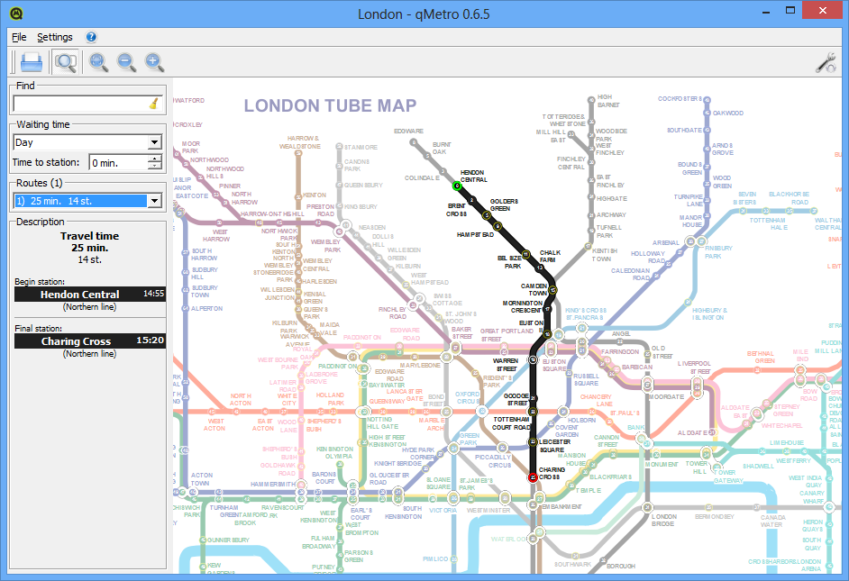
QMetro is a portable, open source tool which can help you navigate subways all around the world.
The program comes with 23 maps covering many big cities: Amsterdam, Beijing, Berlin, Brussels, London, Madrid, Moscow, New York, Paris, Tokyo and others. But if that's not enough, there are something like 200 maps available online (and in theory, at least, you can even create more yourself).
At a minimum, you might use qMetro just to open and display a static map of your chosen subway. Navigation is easy, you can spin the mouse wheel to zoom in and out, or click and drag the map to pan around. Your current map scale and position will by default be saved, too, so you can close the program, come back later and carry on where you left off.
The qMetro maps aren't just images, though. Find and click on one station, and all the others on the map will display a figure indicating how many minutes away they are. And if you click a second station then the program can even calculate a route for you, including any transfers and the total travel time.
Verdict:
It really needs to be available for Android and iOS more than Windows, OS X and Linux, but still, qMetro is a useful subway navigation tool with an extensive ranges of maps


Your Comments & Opinion
Download Google maps for offline viewing
A complete solution for directions, traffic, business searches and more
Google Earth's extended version is now free
Find the easiest way across your city
Minor update to the popular email client, but with a limited number of new features
Major update to the portable version of the popular email client, but with a limited number of new features
The latest stable Chrome Portable includes a number of under-the-hood improvements
The latest stable Chrome Portable includes a number of under-the-hood improvements
Detect intruders on your wireless network