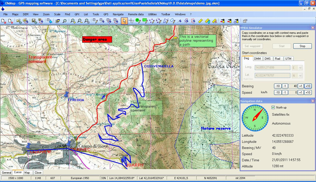
The program can import maps in more than 30 formats, including GFW, JGW, PGW, TFW, BPW (World file); ECW (Earth Resource Mapping); GeoTiff; MAP (OziExplorer); IMP (CompeGps); GMI (
Wherever the maps come from, you can then work with them to create waypoints, routes, tracks and more. These can then be uploaded to your GPS device, or you can alternatively download information from your GPS and display it on the maps.
These map additions can be static, so for instance you might create a list of photos which are displayed on a map, so you can see exactly where they're taking.
But OkMap can also do much more. If you run the program on a laptop with a connected GPS, say, then you can plot your position on a map in real time, and send this information constantly to a remote computer. So a group of people, all equipped with OkMap, laptop and GPS, could see everyone's position updated in real time.
And even this is just the start, but we simply don't have space here to do the program justice. So if you're at all interested in maps or GPS then download the program and try it out, or check the OkMap site for more information.
Verdict:
The interface is a little intimidating, but that's just because OkMap is so packed with features. There's an incredible amount of power here for a free tool, and it's a must-have for anyone interested in GPS or mapping


Your Comments & Opinion
Track your cycling workouts with your iPhone
Create a map of your wireless network coverage
Quickly route the best way to get your boat to a destination
A complete solution for directions, traffic, business searches and more
Google Earth's extended version is now free
Find the easiest way across your city
A gorgeous map creation tool for Mac users
Track down your friends and family using your iPhone or iPad
Browse your hard drive with this tabbed file manager
Tidy up your system after using the avast! uninstaller
Read, write and edit metadata in more than 130 file types with this command line tool
Read, write and edit metadata in more than 130 file types with this command line tool
Read, write and edit metadata in more than 130 file types with this command line tool