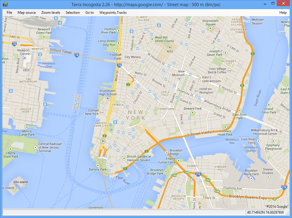
Terra Incognita is a mapping tool with a range of features and functions.
At its simplest, you can use the program as an easy way to access maps from various online sources: Google, Bing, OpenStreetMap, TuttoCita, Bergfex and many others. Terra Incognita supports various map types from each source, too. Choose Google, say, and you're able to view hybrid, satellite, street or terrain maps.
Simple navigation options mean you're able to jump directly to a maps.google link, a particular latitude/ longitude or GPS position, and there are the usual controls to help find your way around (click and drag to pan across a map, left-click to zoom in, right-click to zoom out).
If you're not happy with one map source, for whatever reason, then just choose another one. It'll quickly open at the same position and zoom level.
Terra Incognita can also load tracks, waypoints and routes in assorted formats: Google's kml/ kmz, OziExplorer's plt/ wpt, GPS eXchange format (gpx), geocaching loc files, and more.
And once you've finished, the program is able to save the results (the entire map or a selected area) as a calibrated map file in OziExplorer, Kmz, JNX, GPSdash, TomTom, TrekBuddy and other formats.
Verdict:
A versatile and easy-to-use map and waypoint manager


Your Comments & Opinion
A complete solution for directions, traffic, business searches and more
Track your cycling workouts with your iPhone
Monitor your Windows event logs and PC system health from one central location
A configurable system monitor
A configurable system monitor
Browse your hard drive with this tabbed file manager
Tidy up your system after using the avast! uninstaller